Einmal um die Welt | Once around the world
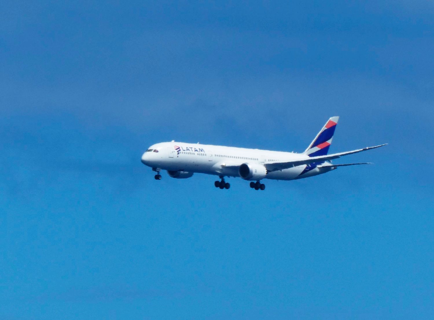
Easter Island | Flight 17
Auf zu den Osterinseln!
Start: 20:16 Uhr (MEZ)
Landung: 04:17 Uhr (MEZ)
Der TNTV Beitrag zu unserer Weltreise ist nun online. Sie finden ihn unterhalb des Textes. Zum Tahiti Video Eintrag
04.09., Montag
2 Tage verbringen wir auf der schönen Insel, wo Perlen gezüchtet werden. Die Vermieterin Joolani macht mit uns sogar eine kleine Inselrundfahrt. Gestern am Sonntag war noch nicht klar, ob wir wegen der Kurzfristigkeit von der chilenischen Luftfahrtbehörde die Genehmigung für den Flug von Mangareva auf die Osterinseln bekommen würden. Heute Früh gegen 07 Uhr kommt das OK und alles muss schnell gehen. Erst zur Gendamerie, um uns abzumelden. Dann Tower, der, da er ja nur Info macht, keine Behörde besitzt. Dann zum Bootshafen, das Boot mit dem Steuermann ist schon bereit. Das Gepäck ins Boot, Ölwesten und -Hosen an und schon geht's los. Viele Wellen mit spritzender Gischt und schweren Schlägen des Boots, bei denen das Glas meines iPhones in meiner Hosentasche aufgibt. Nach ca. 40 Minuten landen wir endlich am Airport.
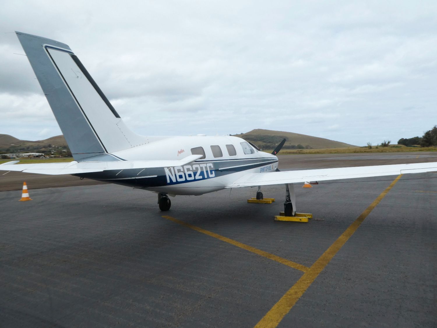
Malibu beladen, Ölstand checken, Walk around, Verabschiedung von den Helfern und einsteigen. Kurzer Austausch mit der Infostelle auf Französisch. Luftdruck squawk, Piste douze und wir rollen auf der Bahn zurück zur 12. Kurzer Run-up Check, „Bout décoller“ (Take-off). Malibu rollt und wir sind in der Luft. Während wir steigen rufen wir Tahiti für die Clearance über das Satelliten Telefon an. Alles ok. Nächste Meldung, wenn wir die Reiseflughöhe von 19.000ft erreicht haben. Wir haben guten Wind mit über 25 Knoten von schräg hinten und fliegen mit über 183 Knoten, ca. 340 Km/H.
Unser Satelliten-Wetter zeigt über die Infrarot-Erfassung nach über der Hälfte der Strecke ein etwa 150 Meilen breites Wolkengebiet mit enthaltenen Cumulus-Wolken. Das hat mir auch der Meteorologe vom deutschen Wetterdienst, den ich noch am Morgen angerufen habe, gesagt. Auch einzelne Cbs (Cumulonimbus), d.h. Gewitter, können enthalten sein. Wir steuern mit Ausweichmanövern nach links und rechts durch dieses Wolkengebiet. Mit einem Mal haben wir kurzfristig eine leichte Vereisung. Endlich sind wir hindurch und der Himmel über uns wird wieder blau.
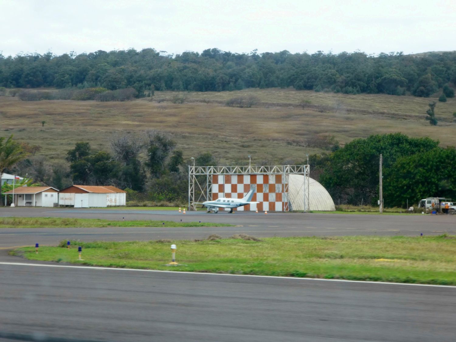
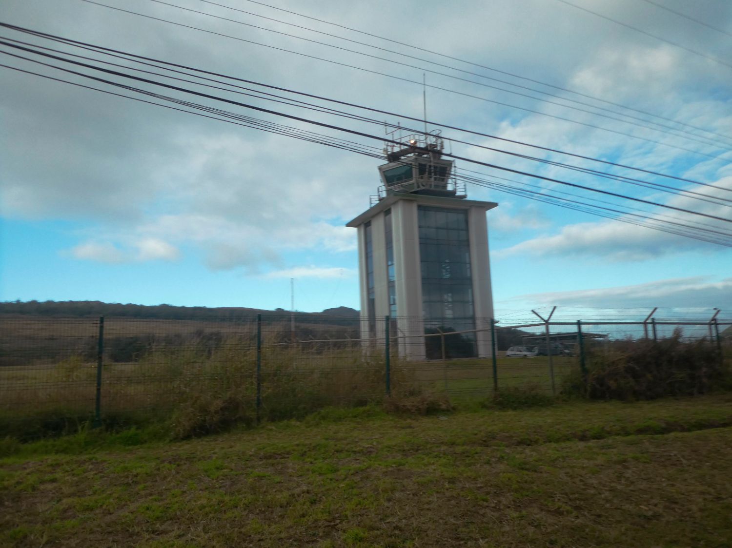
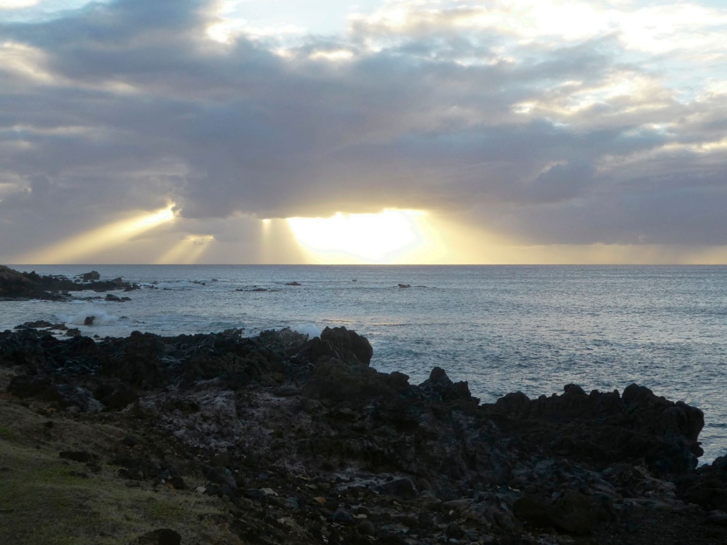
Halbstündig geben wir unsere Positionsmeldungen an Tahiti ab, bis wir nach ¾ der Strecke an Chile übergeben werden. 248 nautische Meilen vor der Osterinsel beginnt unser ADF (Automatic Direction Finder) das NDB (Non-directional Beacon) von Rapa Nui vom Tower auf den Osterinseln zu empfangen. Bei 100 nautischen Meilen meldet sich auch schon der Tower, inzwischen ist es auch bereits dunkel geworden, „N662TC report HANPI“. Nach dem Waypoint Hanpi beginnen wir unseren Sinkflug und werden für das ILS auf die Runway 10 gecleared. Einfach nur gerade aus auf das ILS. „Established on localizer 10“. Wir sinken auf dem Gleitpfad und da sind auch schon die Approach-Lights, zwei weiße, zwei rote. „Tango Charlie, clear to land.“
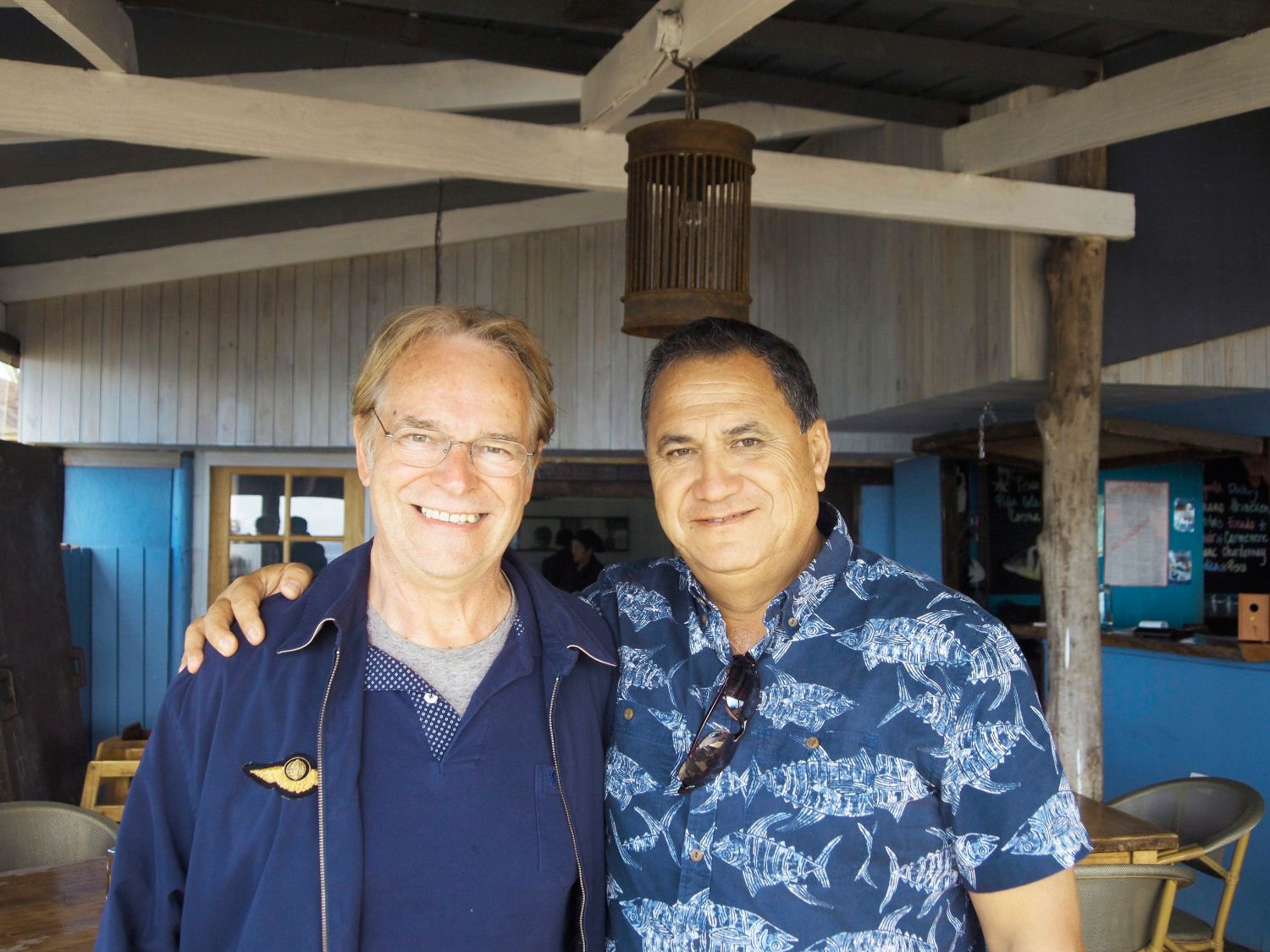
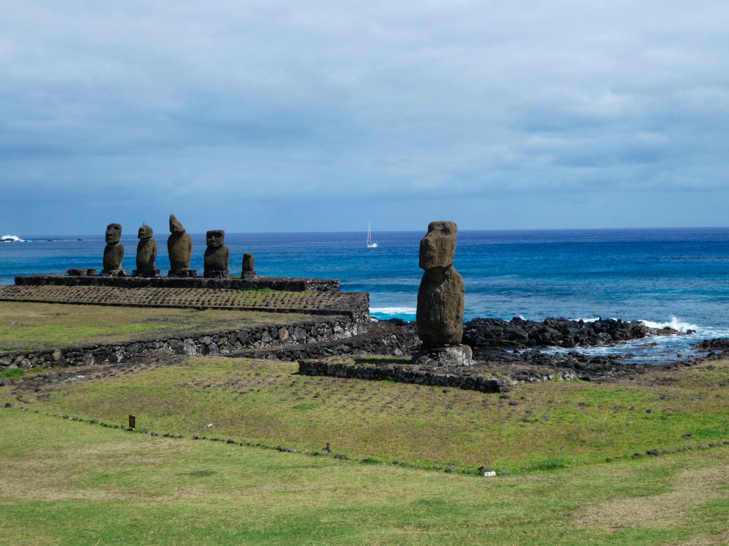
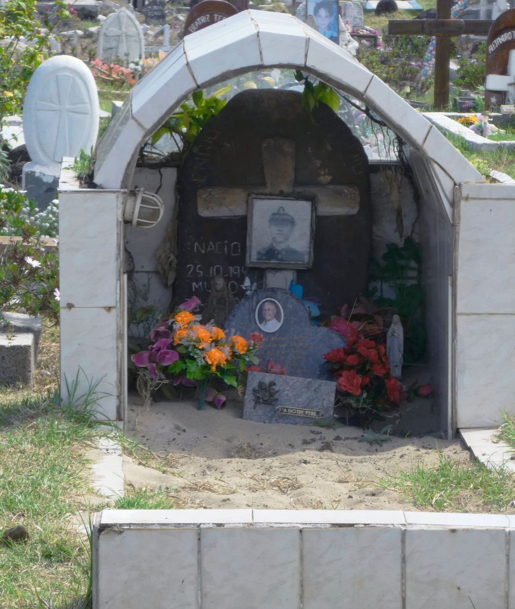
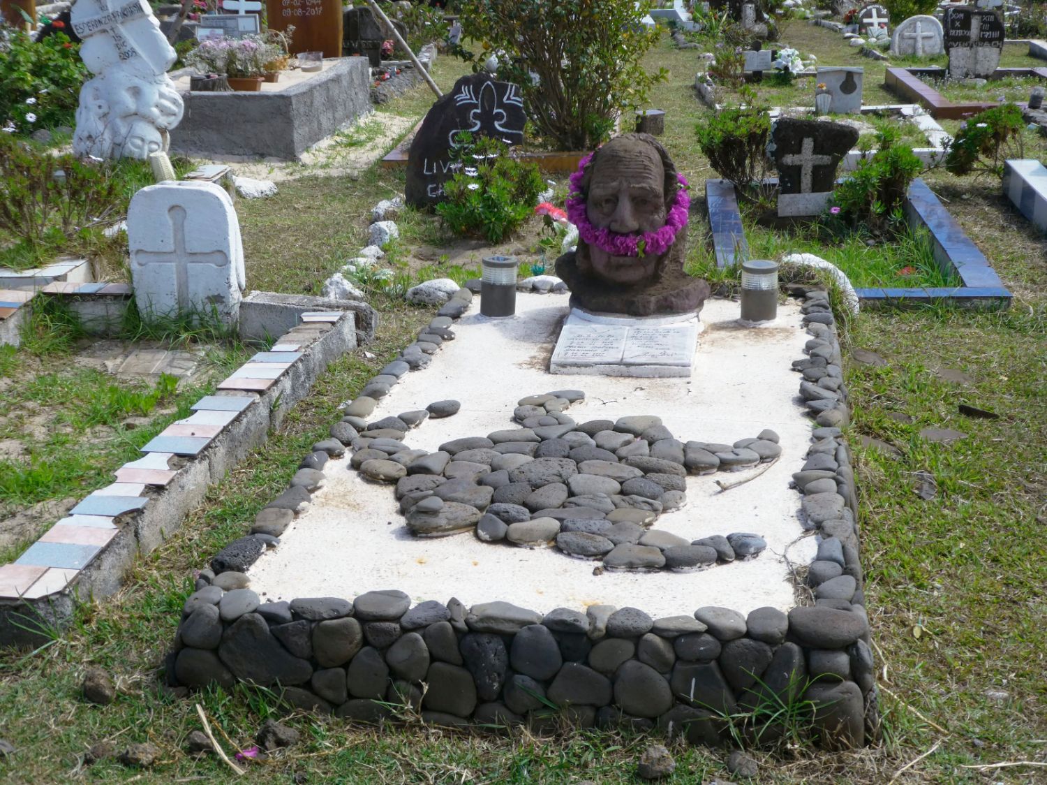
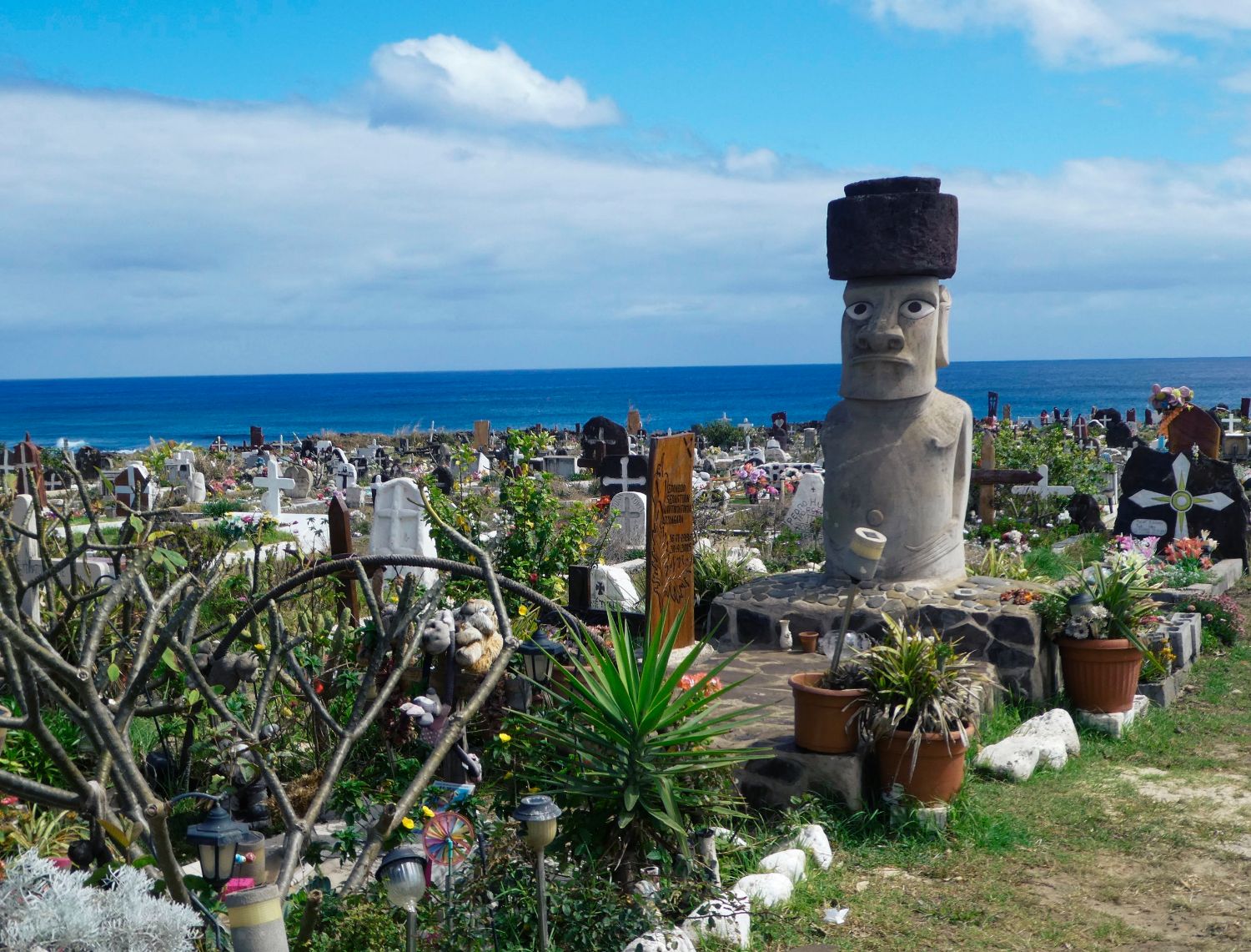
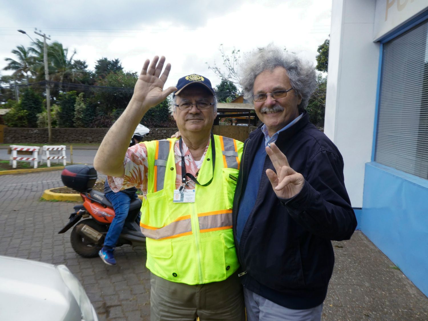
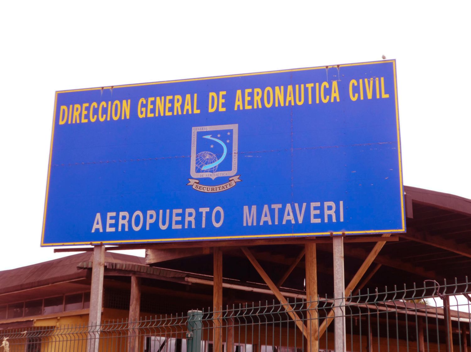
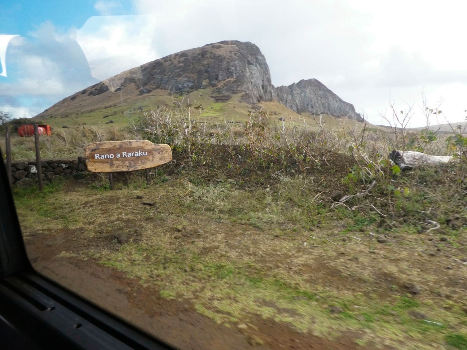
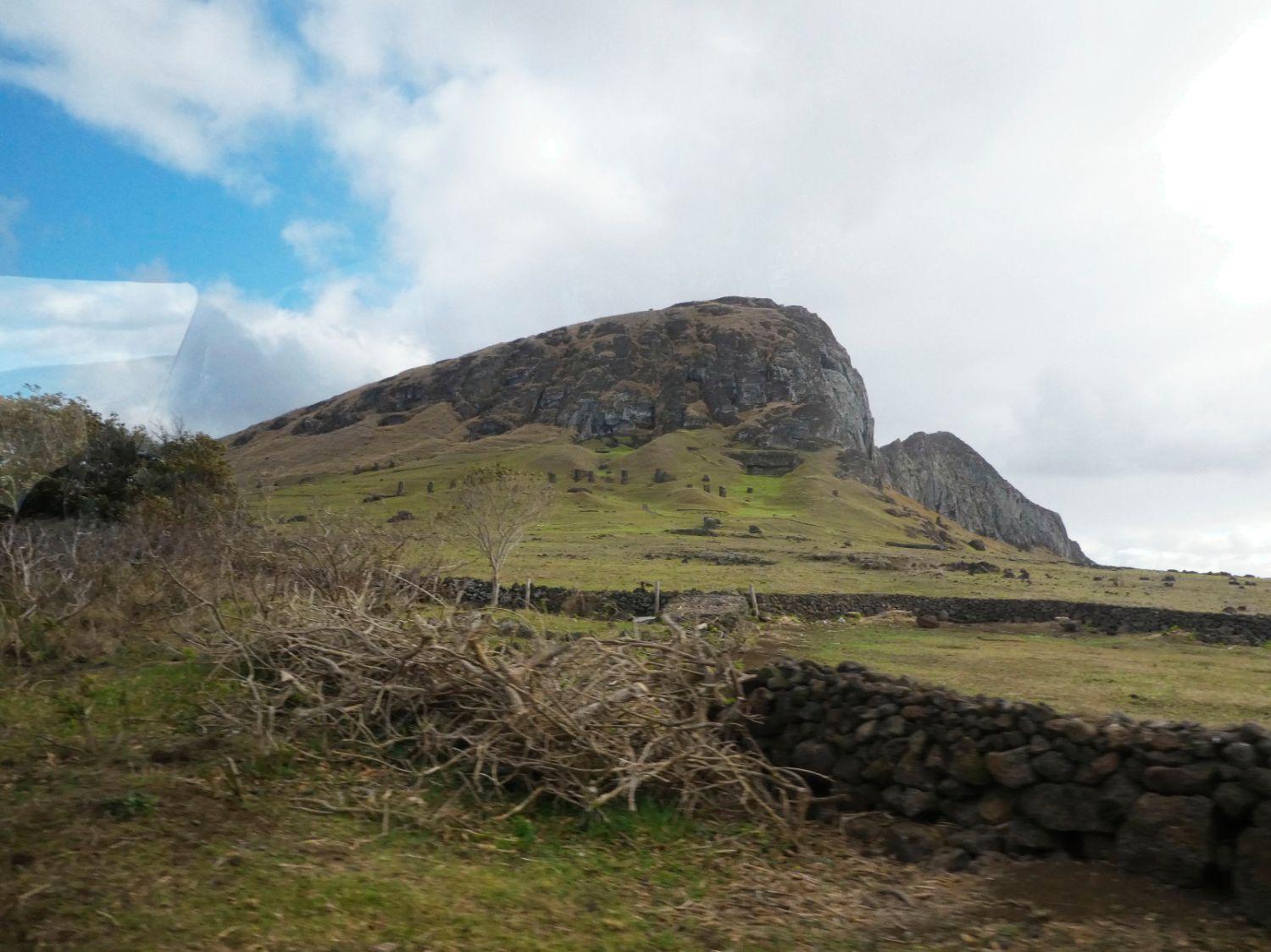
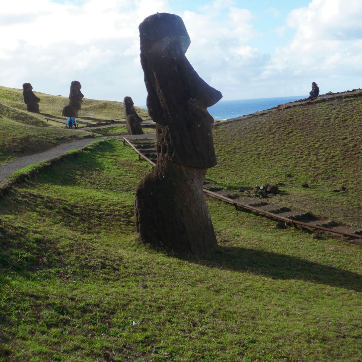
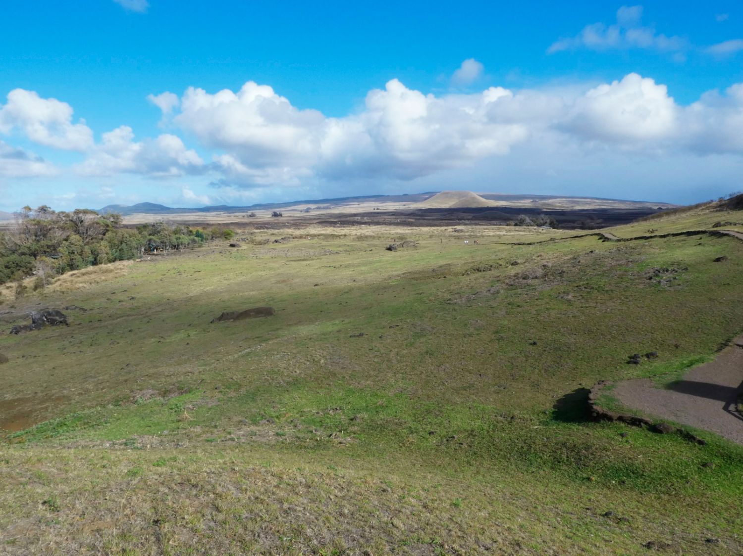
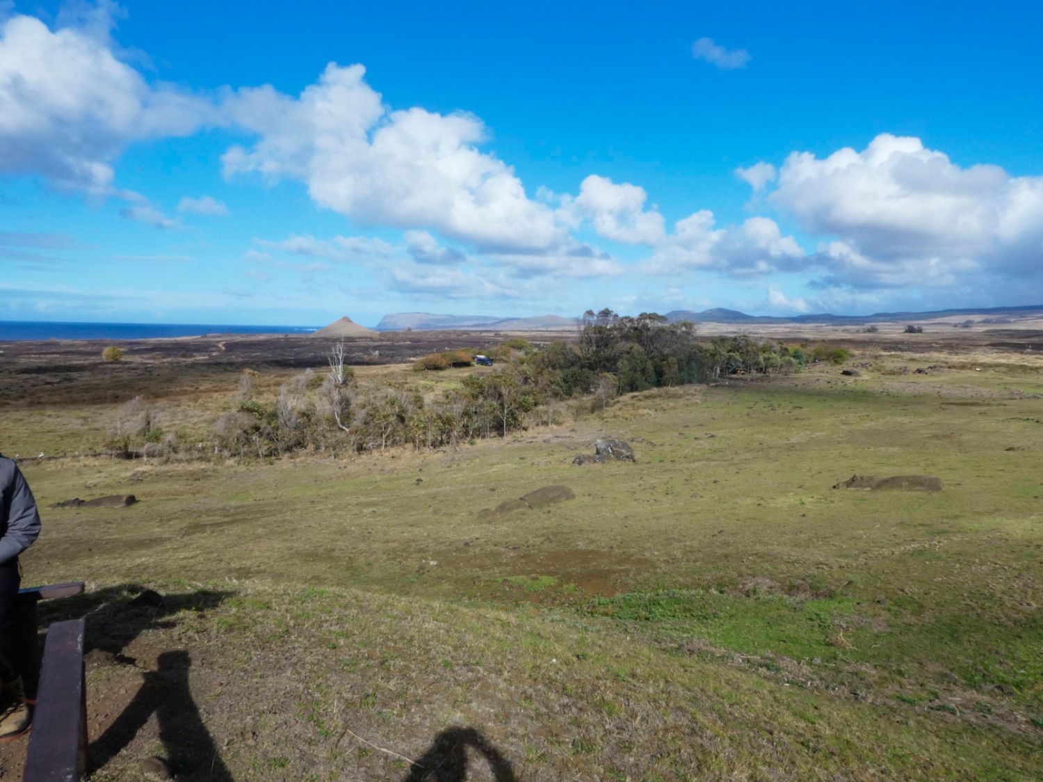
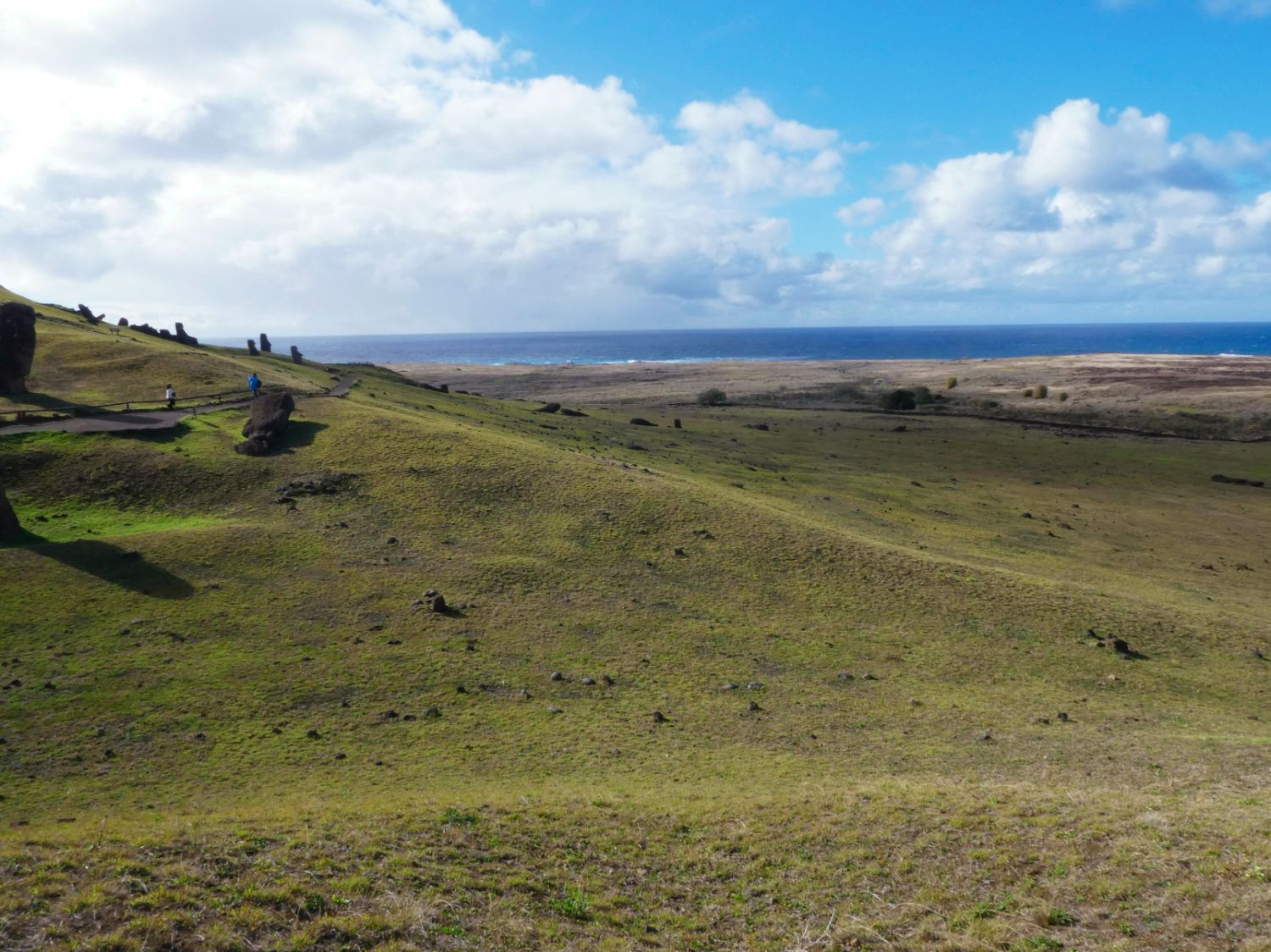
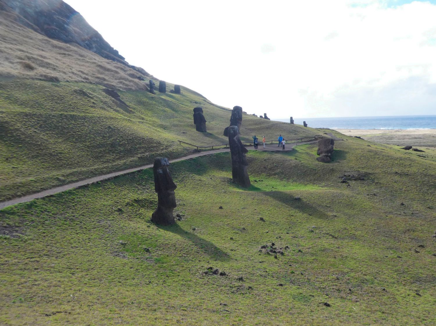
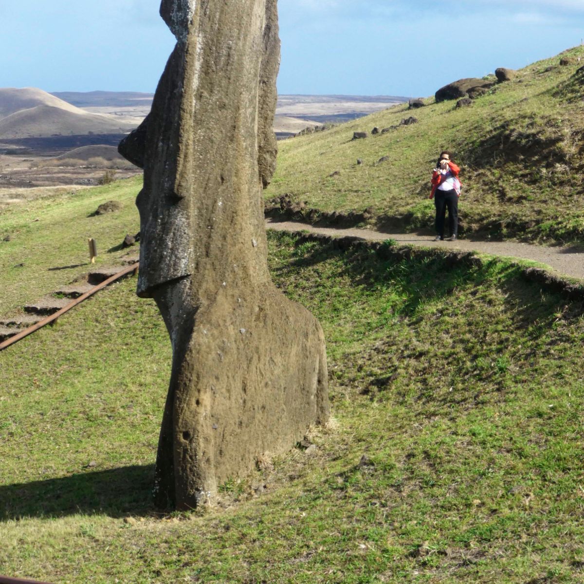
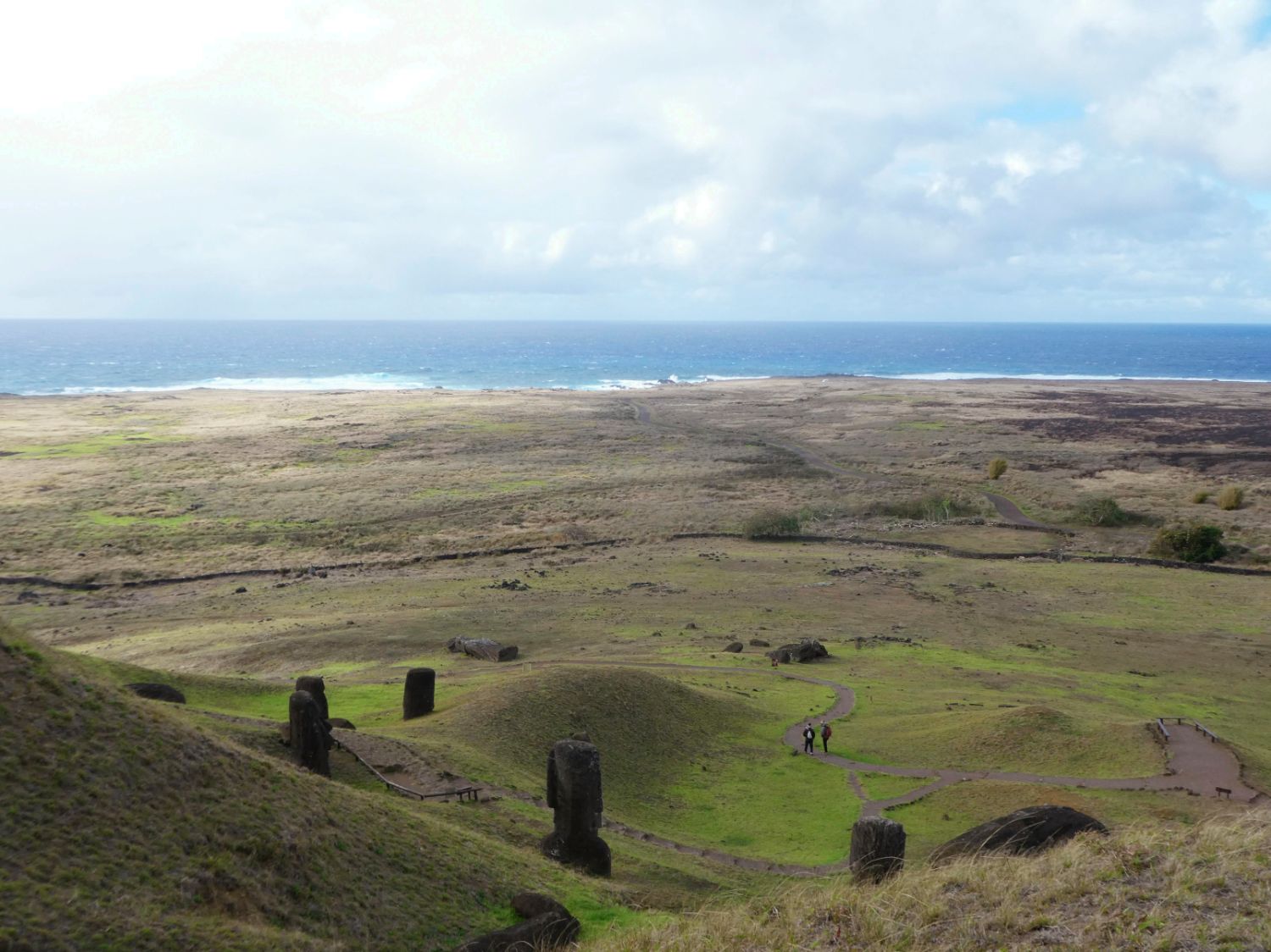
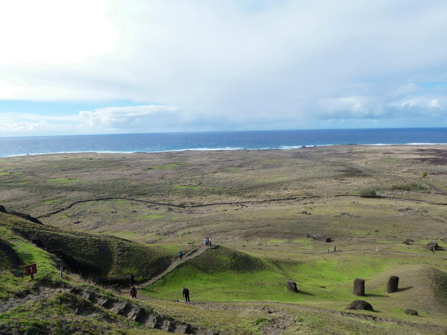
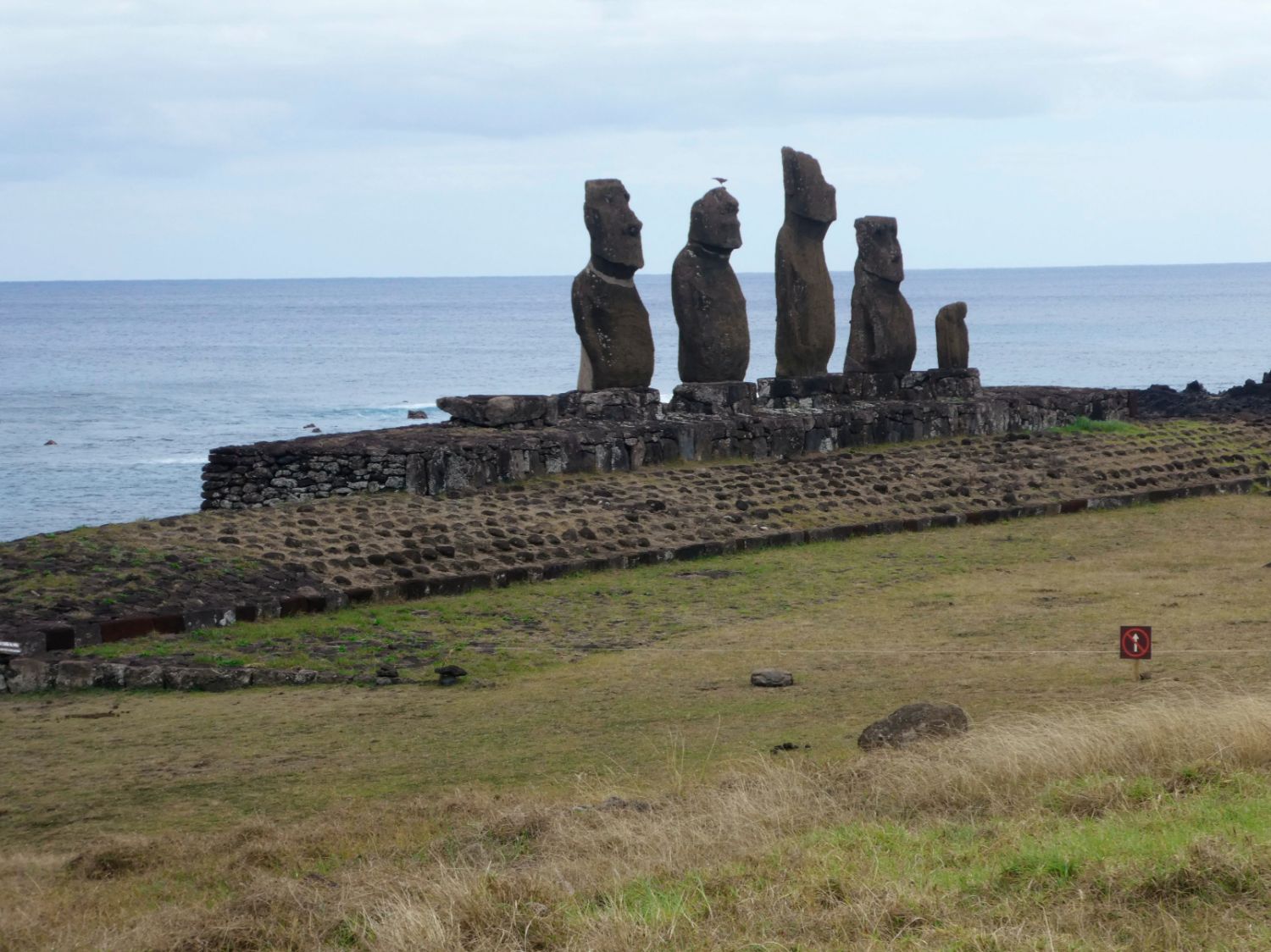
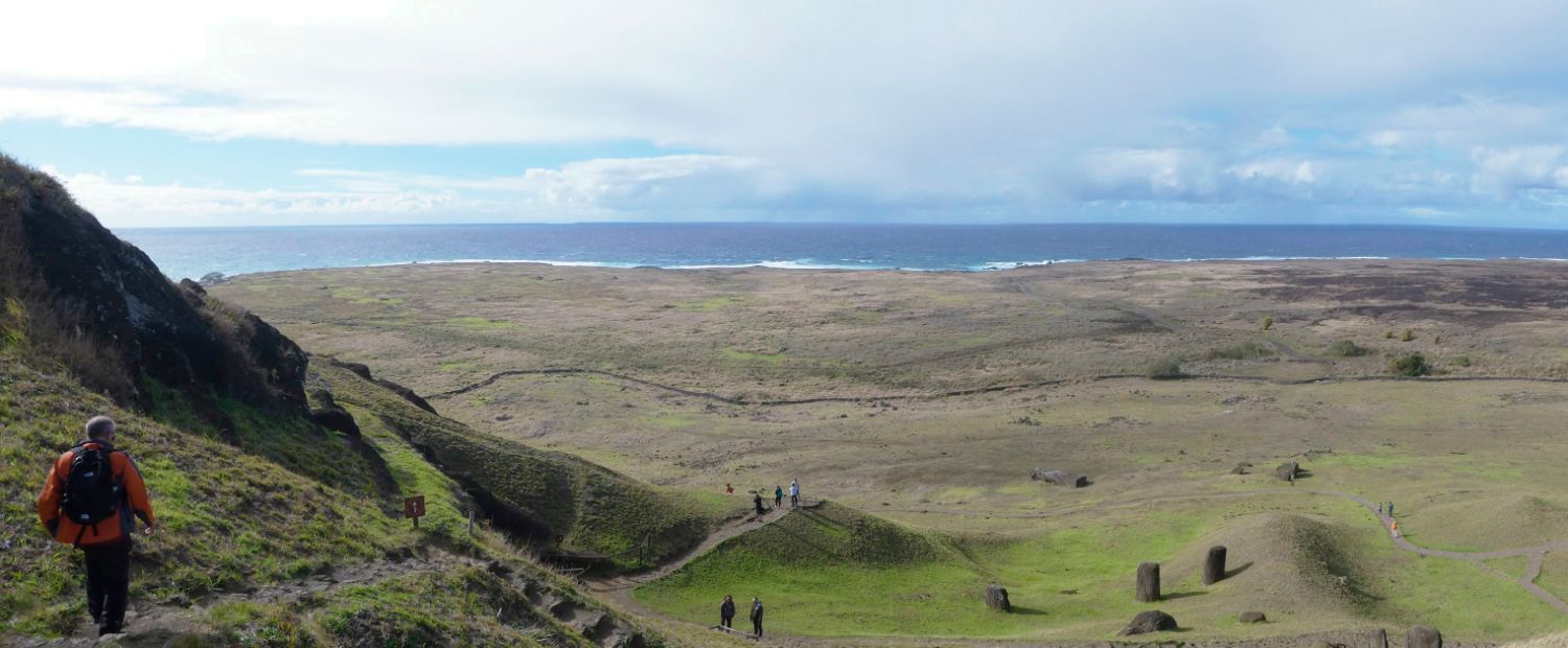
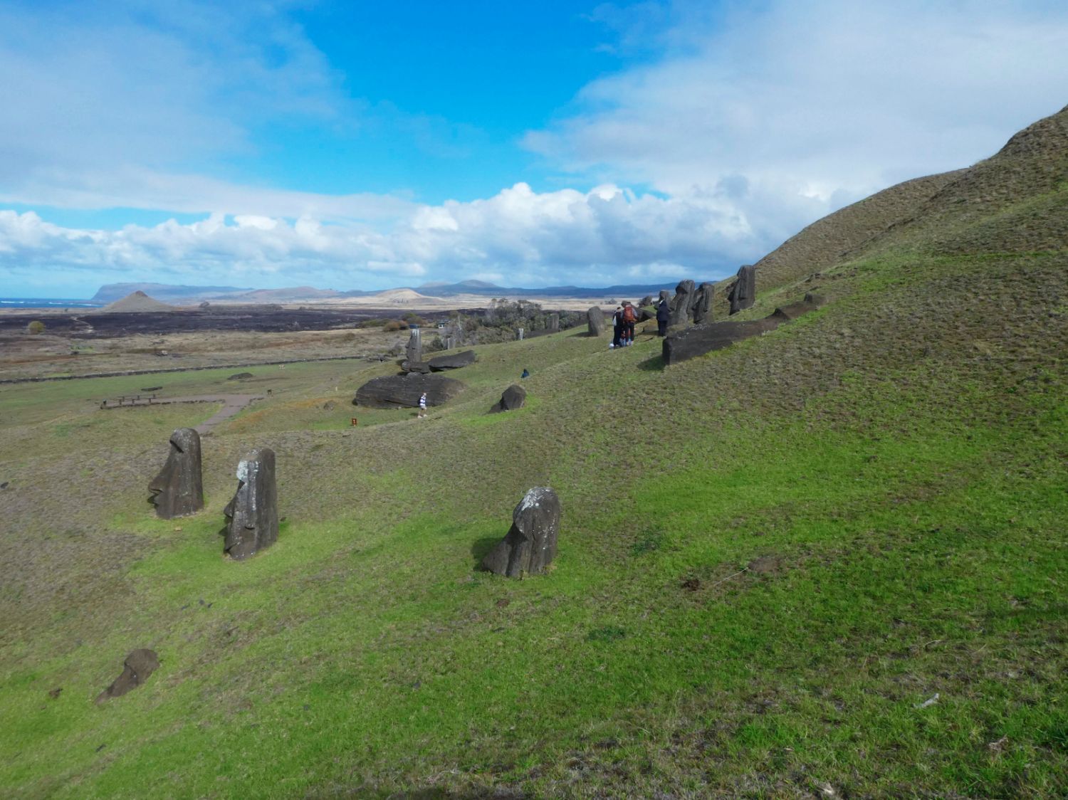
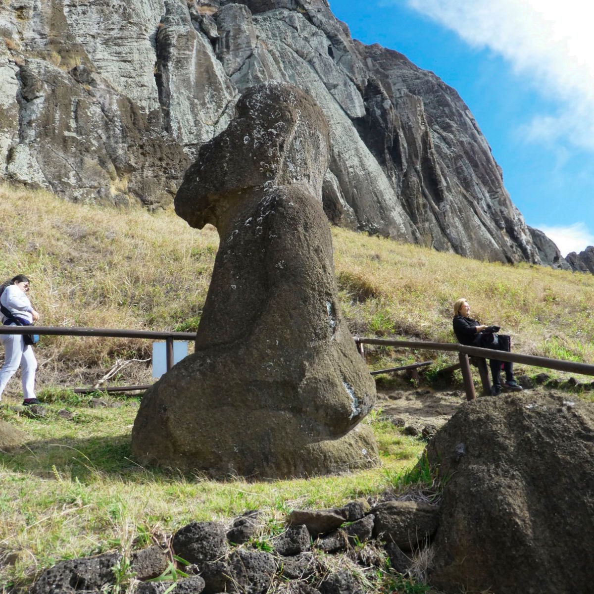
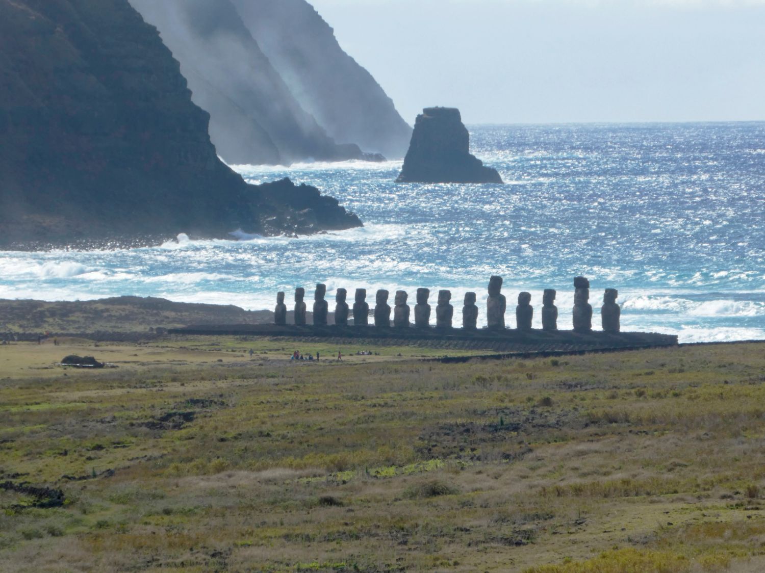
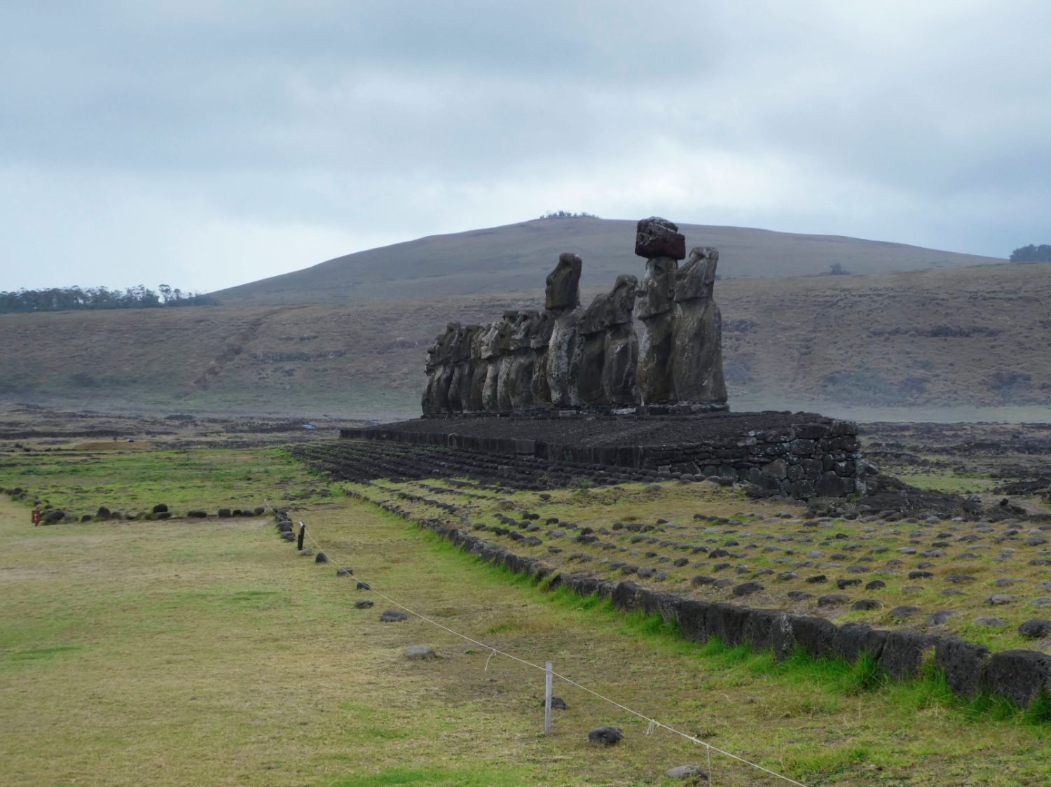
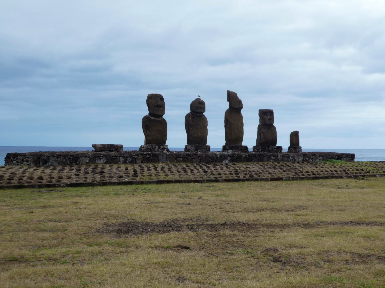
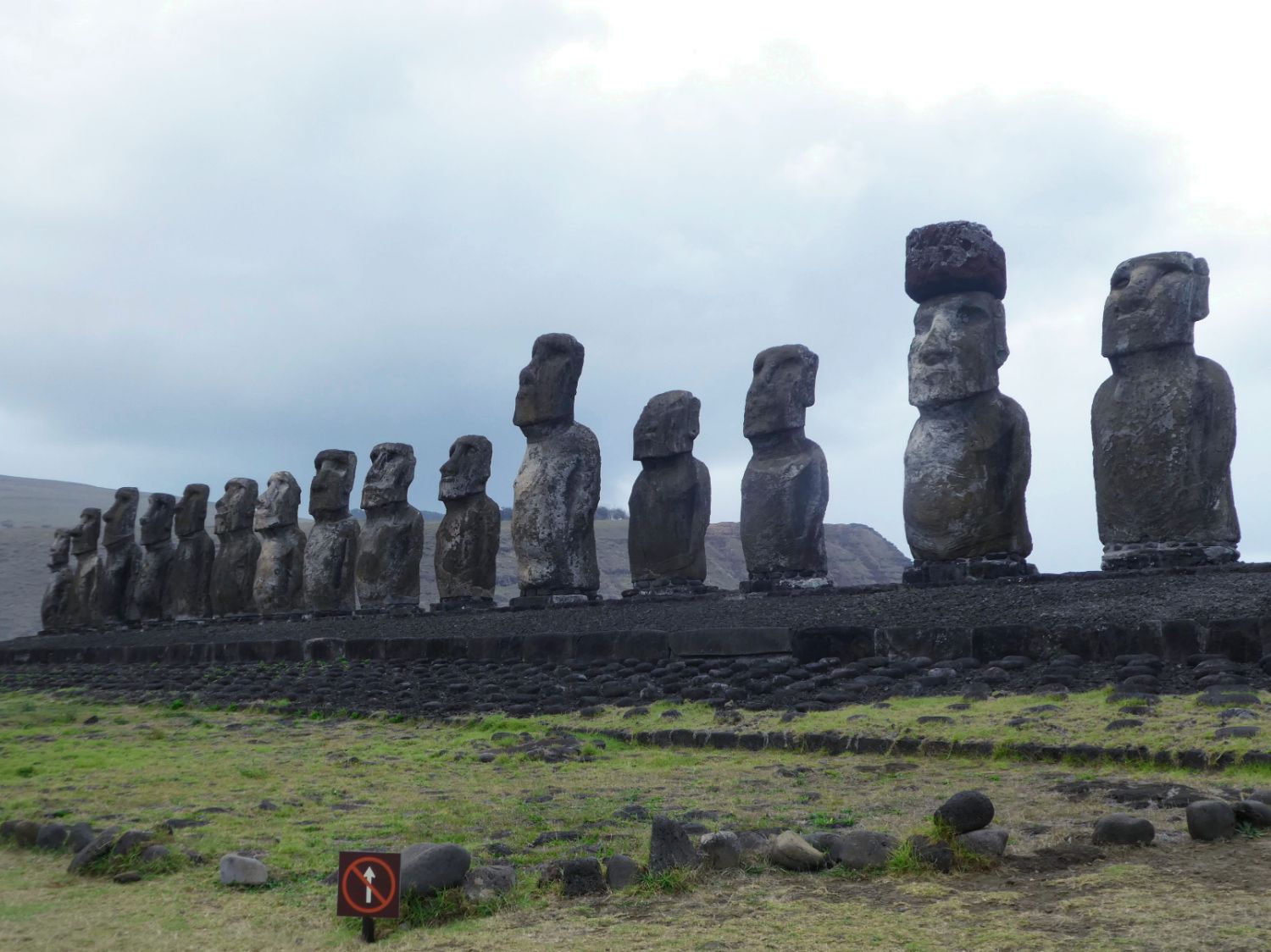
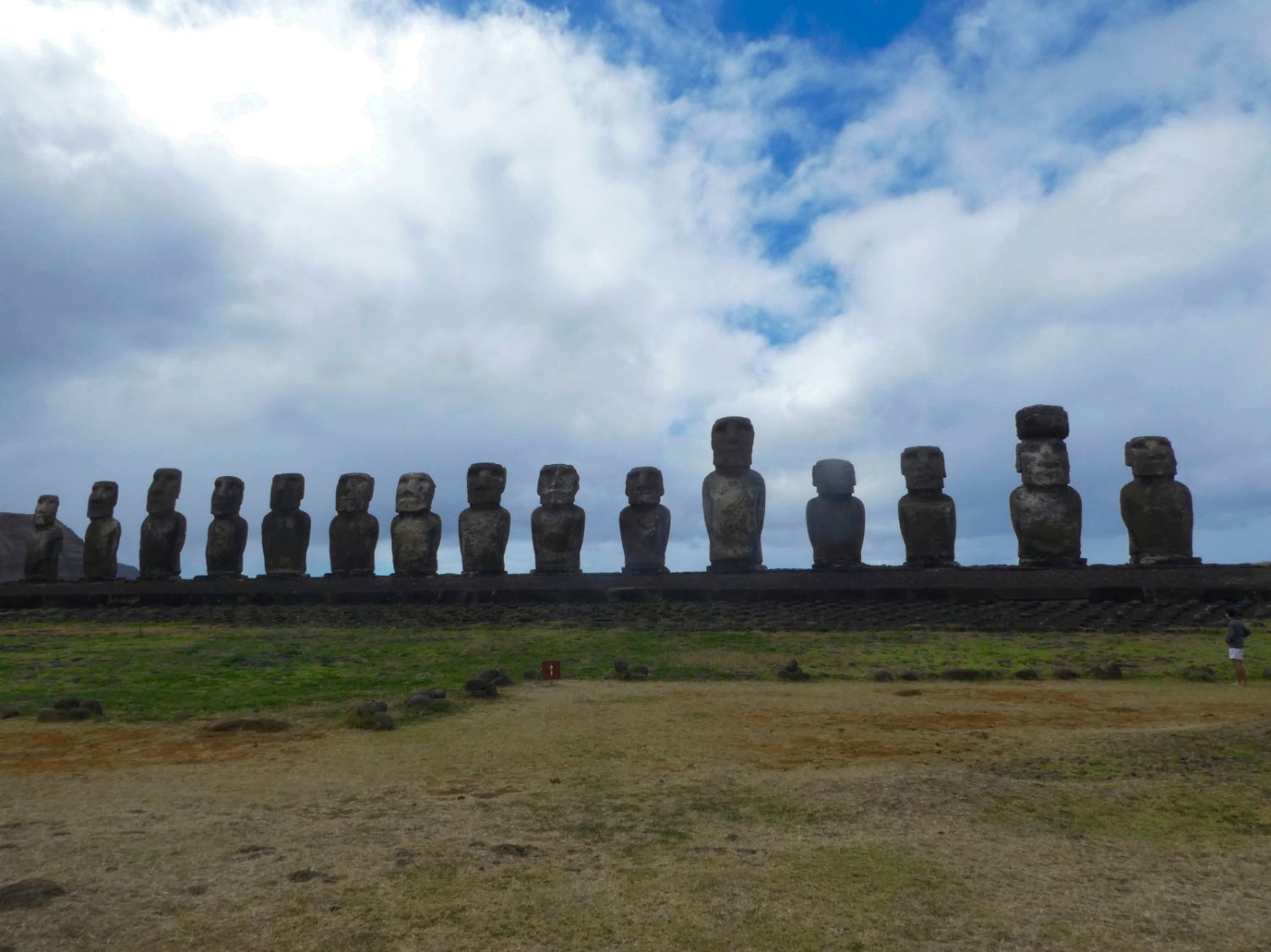
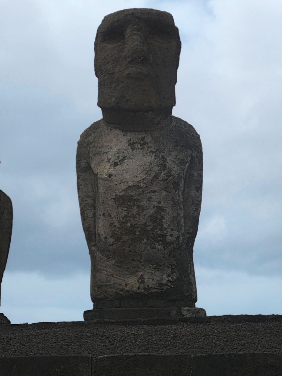
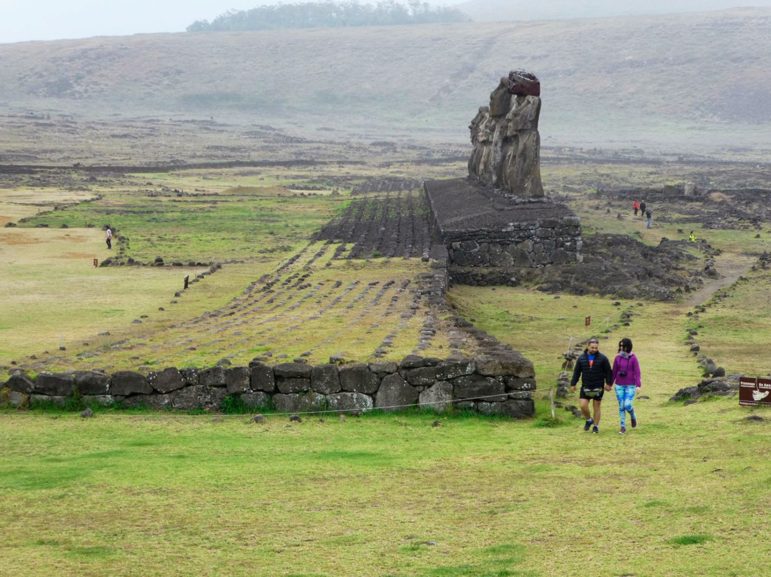
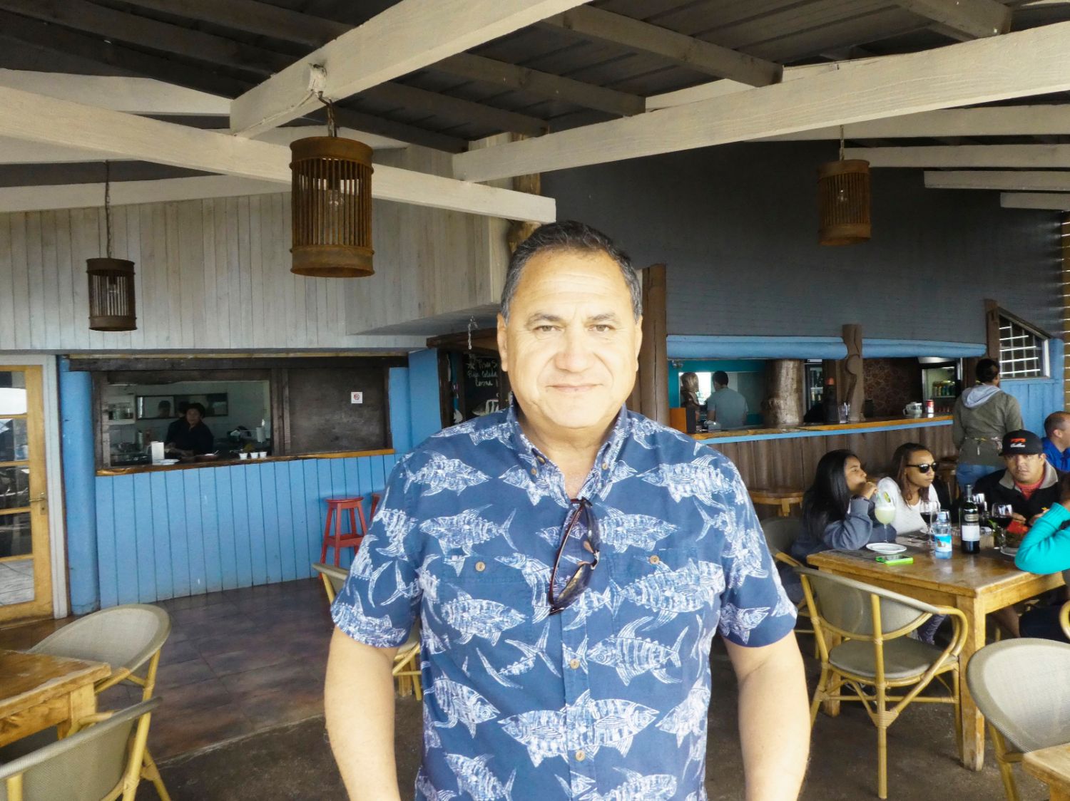
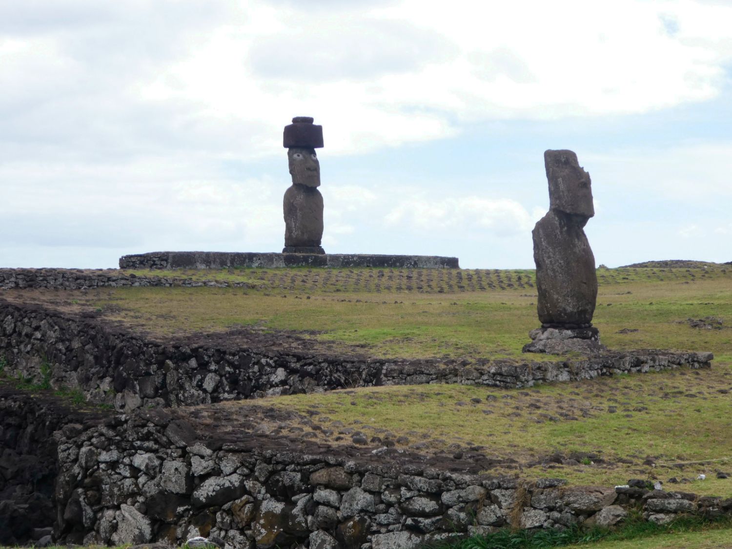
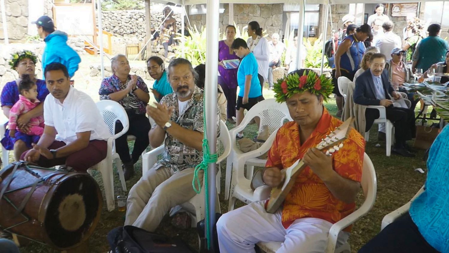
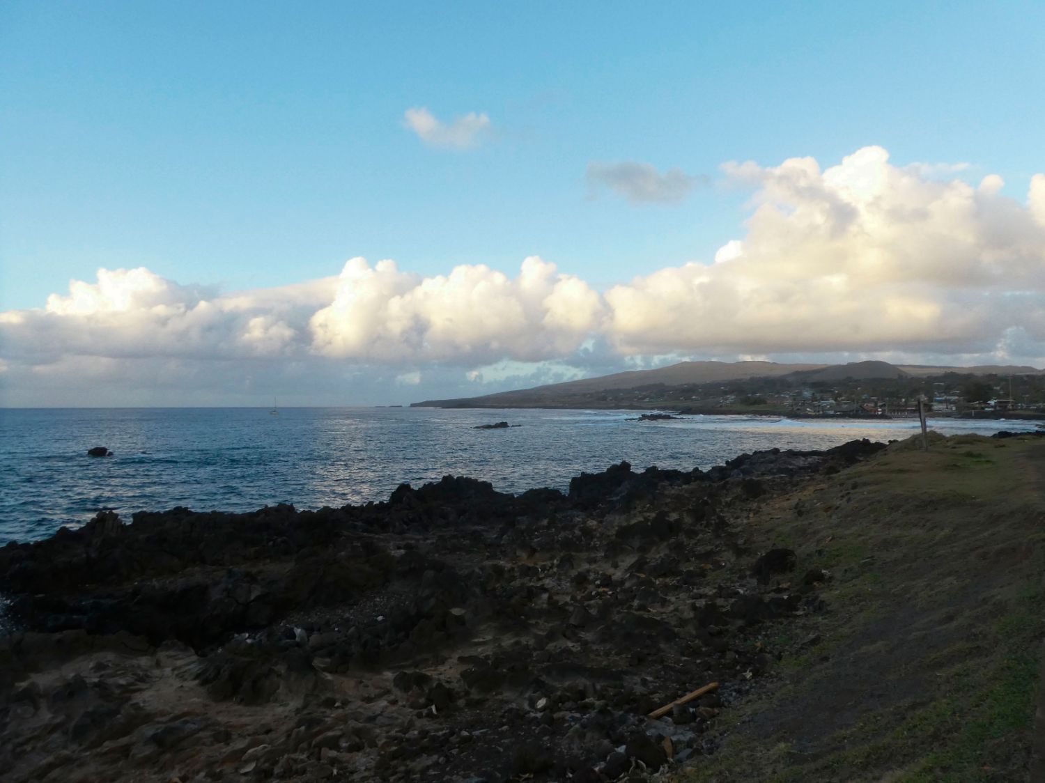
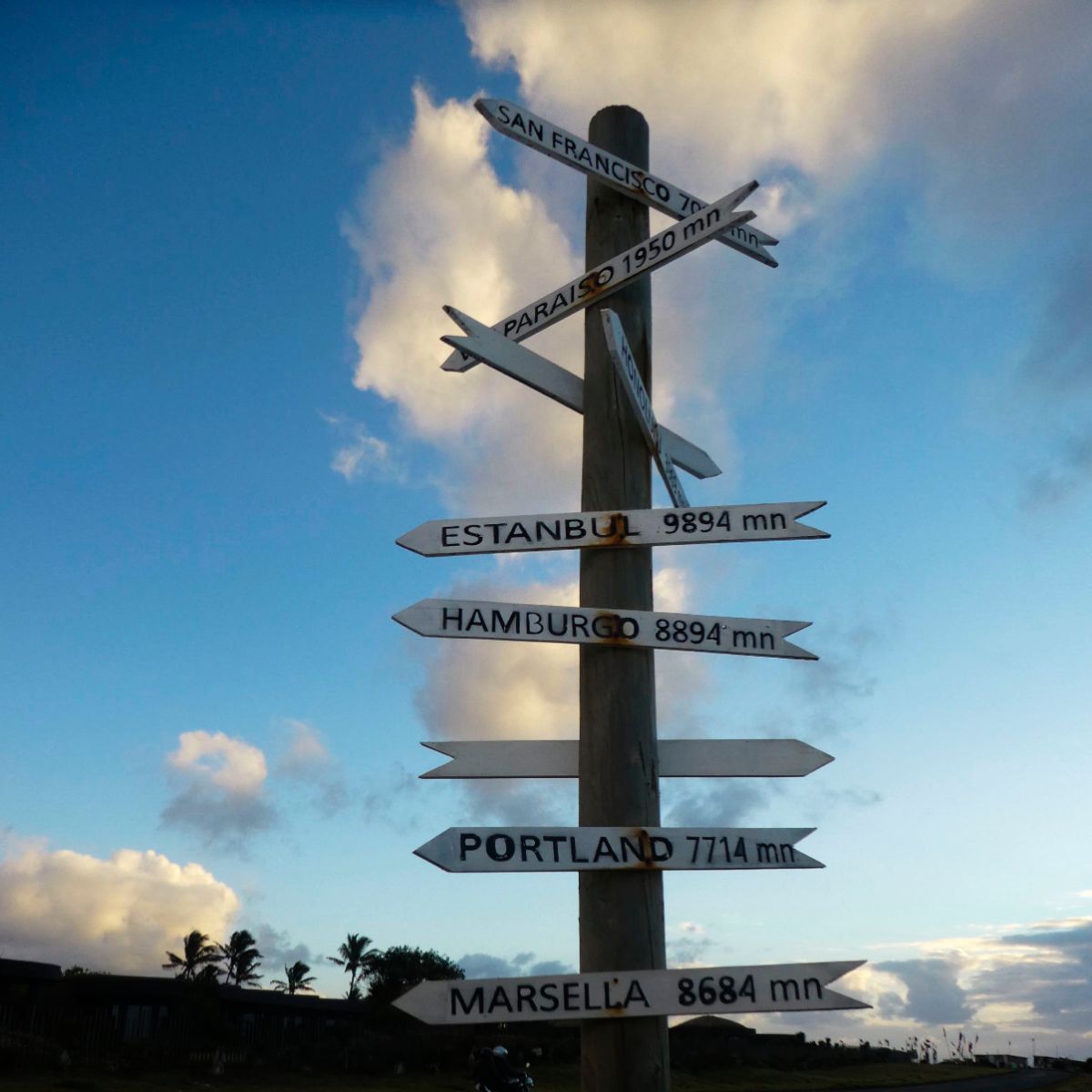
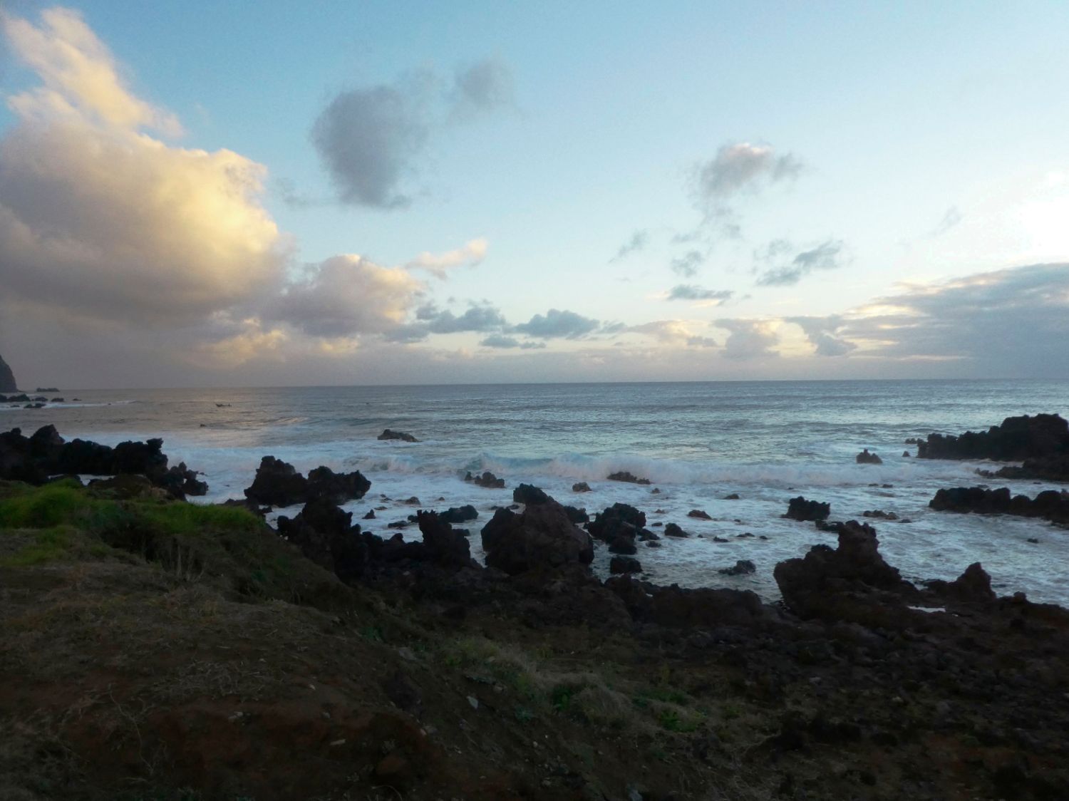
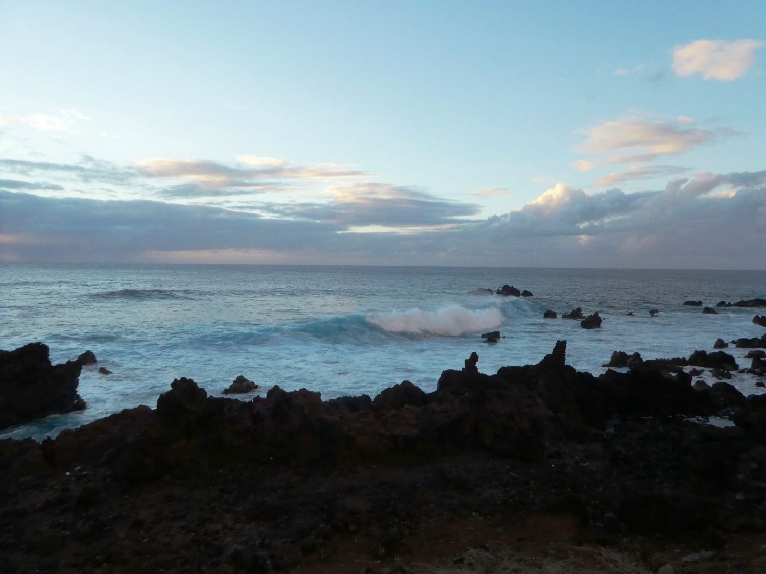
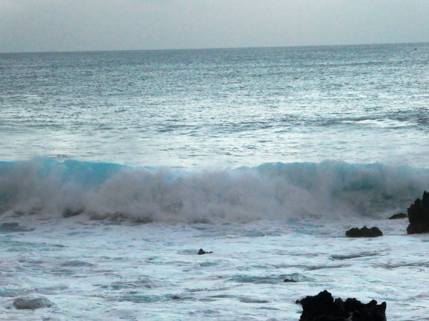
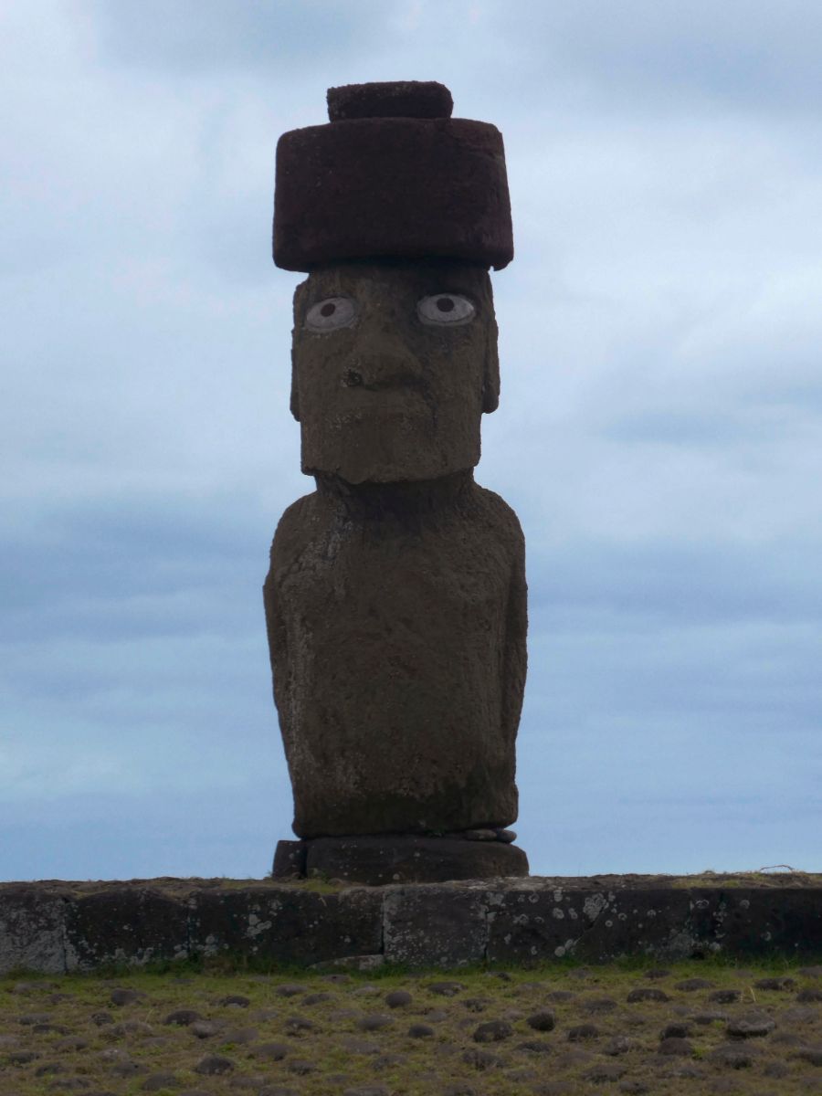
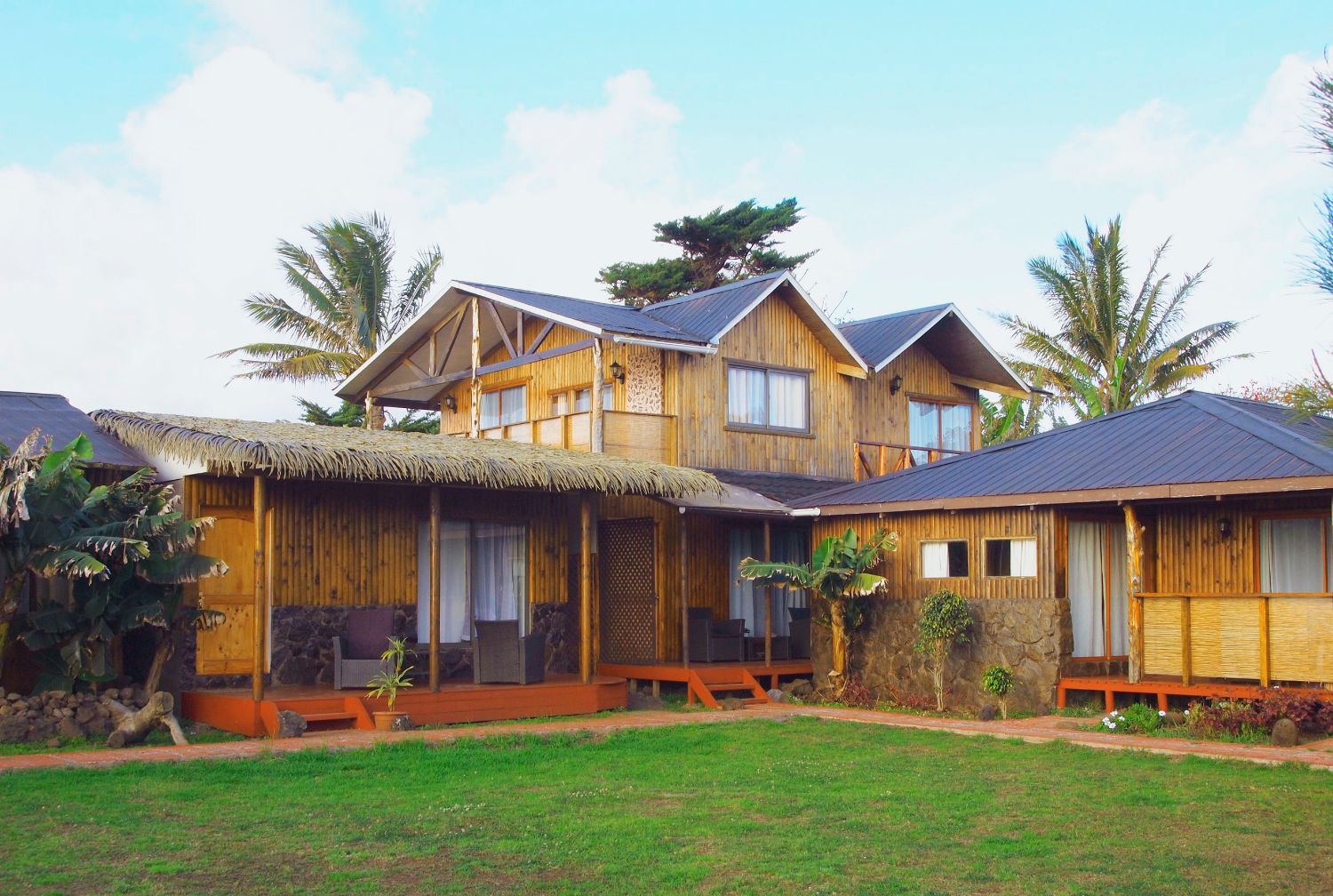
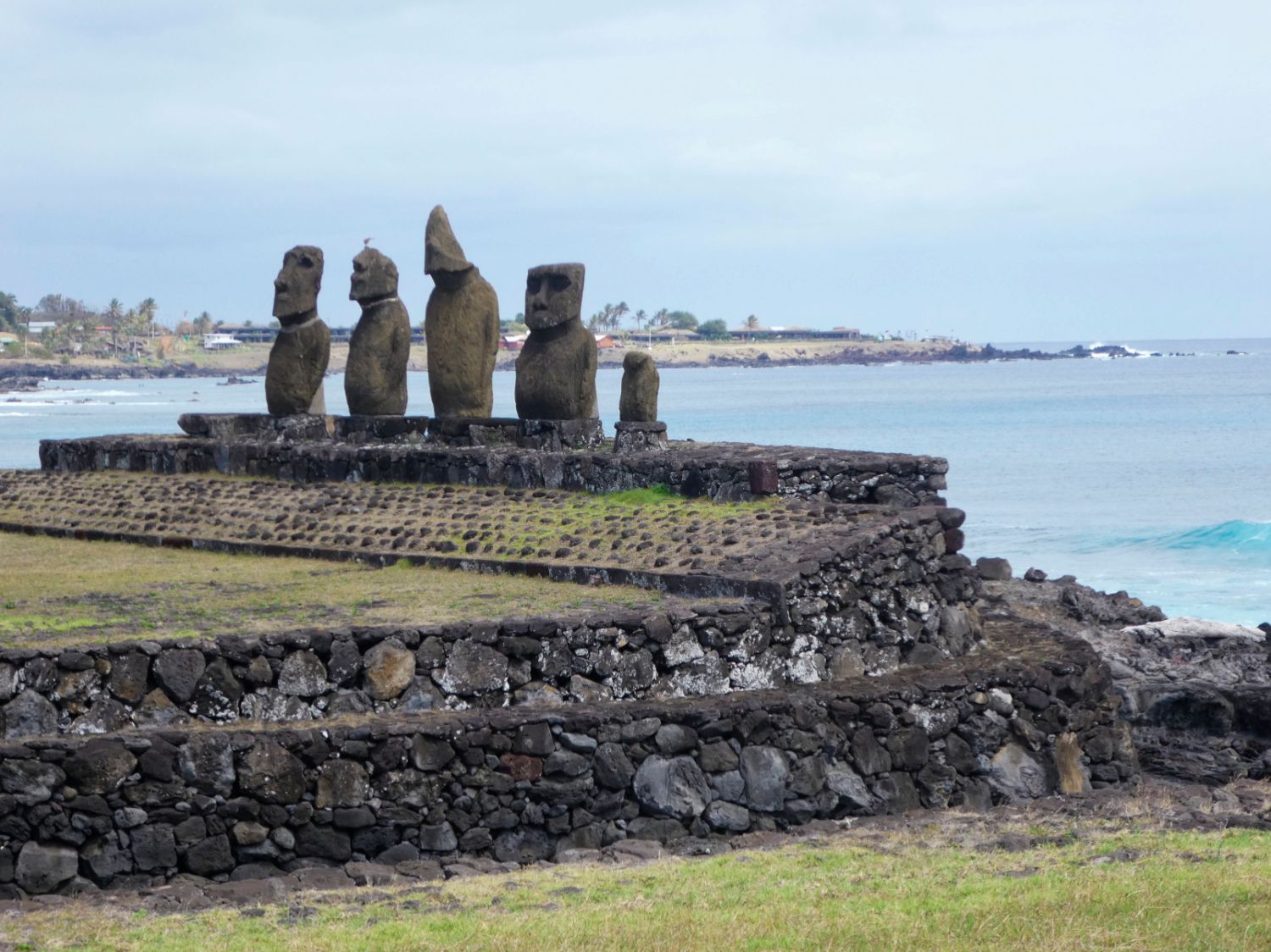
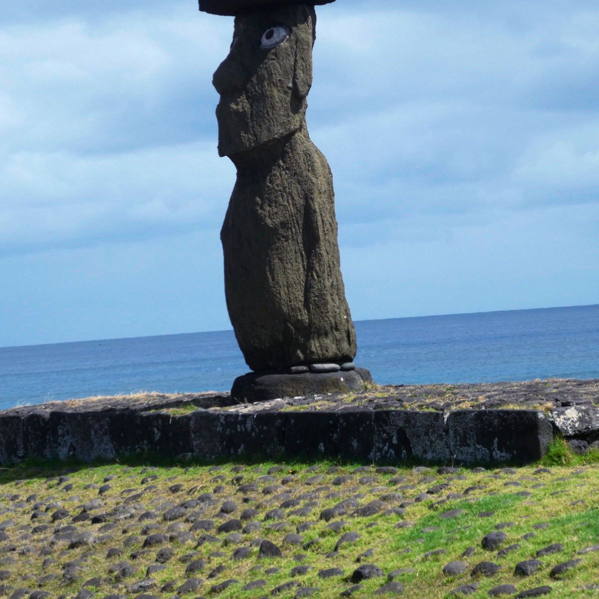
Auch hier haben wir eine lange Runway mit 10800ft. „Tango Charlie, backtrack and exit to right“. Da steht auch schon der Marshaller und winkt uns in Position. Welcome to the Easter Islands. Juan Edmunds Leute sind da. Kurz Customs und Immigration, wir haben aber noch kein Hotel und nach 8 Std Flug wäre etwas zu essen auch nicht schlecht. Das Hotel ist kein Problem. Edmunds Leute bringen uns Downtown, nur 6000 Einwohner leben hier. Jetzt sind wir in Chile, denn die Osterinseln, auch Rapa Nui genannt, gehören zu Chile.
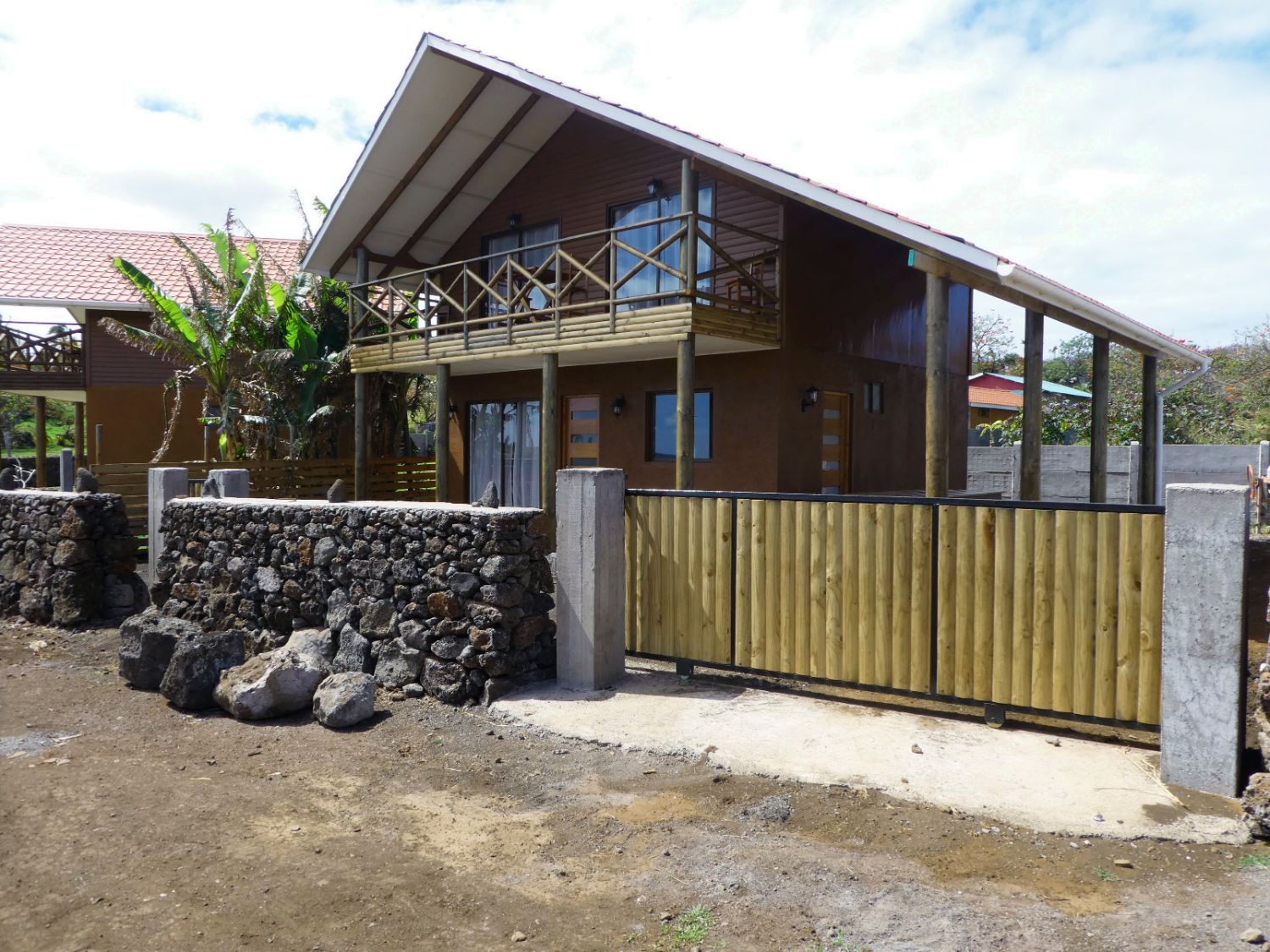
Leider hat die AVGAS-Versorgung auf den Osterinseln trotz intensiver Vorbereitung nicht wie geplant funktioniert, so dass wir unsere Reise erst in ein paar Tagen fortsetzen können.
Let's go to Easter Island!
Departure: 20:16 (MEZ)
Arrival: 04:17 (MEZ)
The TNTV report about our flight around the world is online. You can find it at the end of the text. Go to Tahiti Video Report
4.9. Monday
2 days we spend on the beautiful island where pearls are bred. The landlady Joolani even takes us on a small tour around the island. Yesterday, on Sunday, it was not yet clear whether we would get permission for the flight from Mangareva to the Easter Island by the Chilean aviation authority because of the short notice. This morning, around 7 o'clock, we get the OK and we have to be quick now. First we go to the Gendamerie, to give notive of our departure. Then we contact the tower, since he is only info and has no authority. Then go to to the harbor, the boat with the steerman is already ready. We put the luggage in the boat, get oil wests and pants and start off. Many waves with splashing spray and heavy beats of the boat, the glass of my iPhones in my pants pocket give up. After about 40 minutes we finally land at the airport.
We pack the Malibu, check the oil level, walk around, take leave of the helpers and go on board. Short exchange with the information point in French. Air pressure squawk, piste douze and we roll on the track back to 12. Short run-up check, “bout décoller” (take-off). Malibu rolls and we're in the air. While we still climb, we call Tahiti for the clearance over the satellite phone. Everything OK. Next message when we have reached the flight altitude of 19.000ft. We have good wind with over 25 knots from behind and fly with over 183 knots, about 340 km / h.
Over the infrared analysis, our satellite weather shows cloud area which is approximately 150 miles wide with included cumulus clouds after over half of the distance. The meteorologist from the German weather service, whom I called in the morning, told me that beforehand. Also, singular Cbs (cumulonimbus), i.e. Thunderstorms, can be in there. We fly through this cloudy area with evasive maneuvers to the left and right. All of a sudden, there is a bit of icing. At last we are through and the sky above us becomes blue again.
Every half hour, we announce our position to Tahiti, until we are handed over to Chile after ¾ of the route. 248 nautical miles off the Easter Island, our ADF (Automatic Direction Finder) begins to receive the NDB (Non-directional Beacon) from Rapa Nui from the Tower on the Easter Island. 100 nautical miles off, meanwhile it has already become dark, , the tower contacts us already: "N662TC report HANPI". After the waypoint Hanpi, we start our descent and are cleared for the ILS on the Runway 10. We go straight to the ILS. "Established on localizer 10". We sink on the glide path and there are the Approach-Lights already, two whites, two reds. "Tango Charlie, clear to land."
Again, we have a long runway with 10800ft. "Tango Charlie, backtrack and exit to right". There we find the Marshaller who directs us in position. Welcome to the Easter Islands. Juan Edmund's people are there. Short Customs and Immigration, but we still have no hotel and after 8 hours flight something to eat would be nice. The hotel is no problem. Edmunds people take us downtown, only 6000 inhabitants live here. Now we are in Chile, because the Easter Island, also called Rapa Nui, belong to Chile.
Unfortunately, the AVGAS delivery didn't work out as intended for the Easter islands so that we have to stop for several days before we can continue our journey.